Thursday 28th September 2017
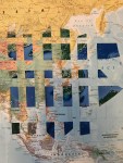
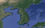
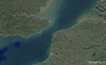
Following on from my research of Mona Hatoum, I then decided to focus on the delineation of national borders, that effect of drawing a line in the sand. I spent some time looking at regions across the globe that have experienced conflict over land/borders through history and printed some Google Map images of the areas where conflict has arisen. I then began to collage this onto an existing world map, cutting into the map where the areas of conflict have been and replacing parts of the map with some of the Google Earth imagery I had collected.


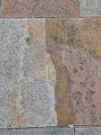
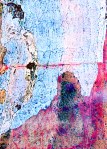
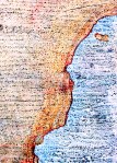
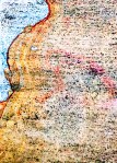
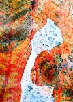
Whilst collecting train tickets at Rhyl Train Station, I noticed the slabs outside appeared to look very similar to land mass/coastline/borders and much to the confusion of the local taxi drivers, began photographing as many as I possibly could.


I then manipulated the photos digitally to create the following images.


I also collected a piece of mild steel that had rusted – the rust gave me the impression of a coastline/border of a land mass.


I also did a little bit of digital artwork, looking at President Trump and Kim Jong-un, with a view to perhaps creating a new Magazine Cover like the ones I created in the Dada Project last year.
